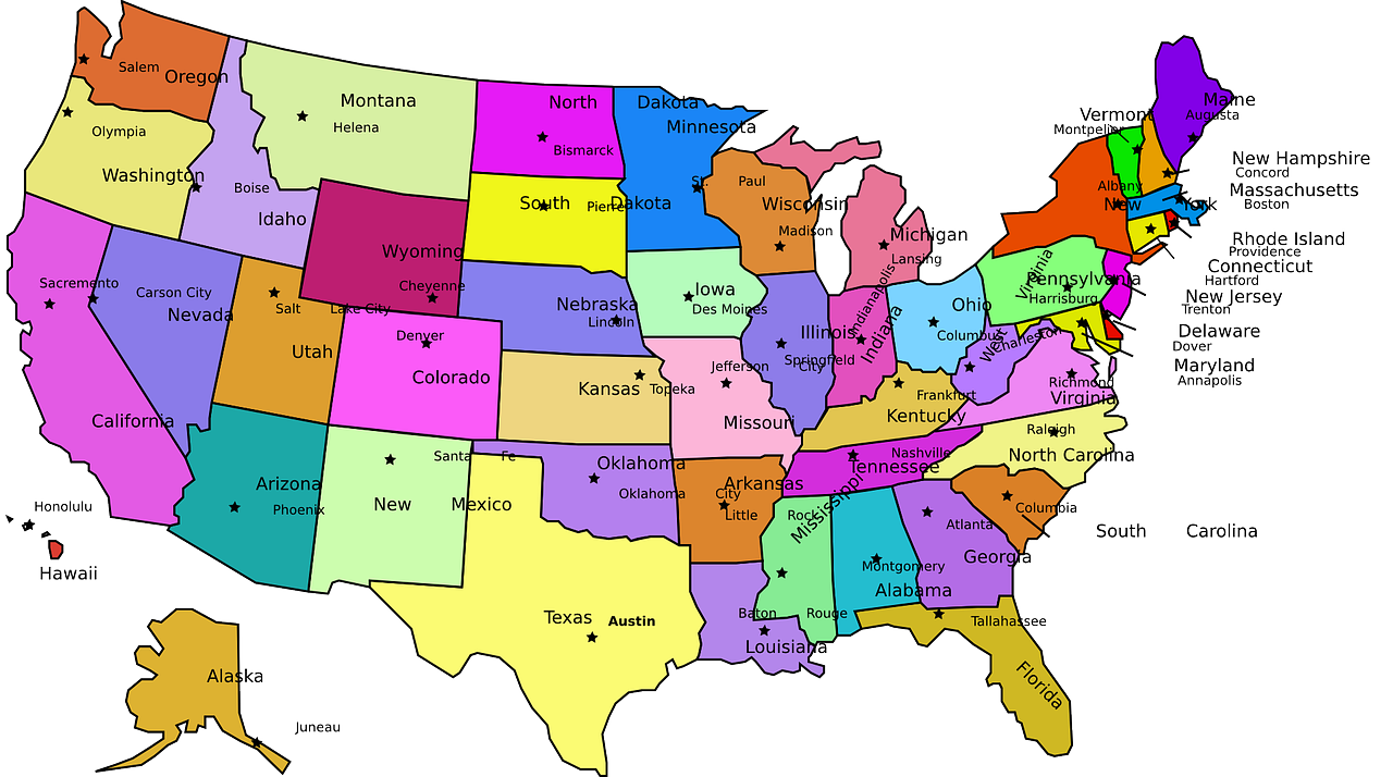
A blast of Arctic air was expected to reach into the Deep South on Tuesday morning, potentially breaking or tying low-temperature records for the day from Texas to Mississippi, according to forecasters at the National Weather Service.
Forecasters predicted the system would bring “dangerously cold,” below-zero wind chill temperatures across much of the Rocky Mountains, the Great Plains and the Midwest.
“These wind chills could cause frostbite on exposed skin in a few minutes,” the Weather Service said on Monday afternoon, suggesting that people avoid outdoor activities if they can.
In addition to the extreme cold, the Weather Service forecast for Tuesday predicted:
-
Snow and slippery roads from the southern Appalachian Mountains across the Mid-Atlantic states and into New York and New England.
-
Freezing rain and two to four inches of snow for New York City, potentially breaking a streak of more than 700 days without an inch of snow in Central Park on a single day.
-
A new storm moving into the Pacific Northwest, with heavy snow in the northern Cascade Mountains and heavy rain or freezing rain in the Columbia River Basin.
Temperatures were expected to rise slightly by Wednesday, but another surge of cold air could again extend into the Deep South by the end of the week.

