
- Wind speeds could increase enough for the formation of a tropical depression, or perhaps a tropical storm.
- Rainfall could come too quickly for the dry ground to absorb, resulting in flash flooding.
- Tropical storm watches or warnings could be issued for parts of the Windward Islands.
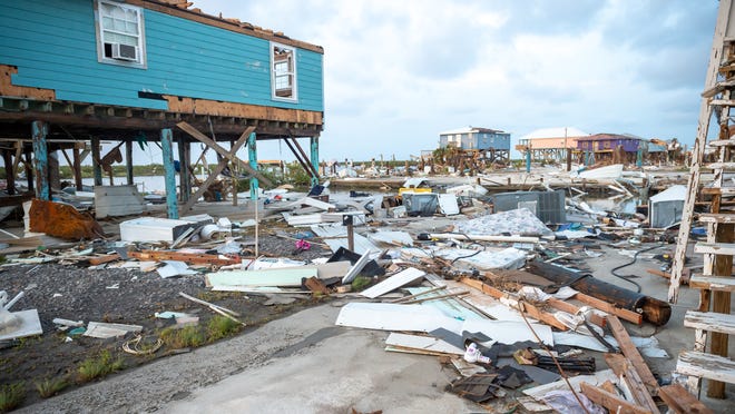
The Atlantic hurricane season is heating up.
Weather forecasters are tracking three separate potential tropical systems in the Atlantic basin, including one in the Gulf of Mexico that could bring soaking rain to portions of Texas and Louisiana this week.
“Conditions for tropical development across the northwestern portion of the Gulf of Mexico look favorable for the final days of June,” said AccuWeather senior meteorologist Adam Douty.
Wind speeds could increase enough for the formation of a tropical depression, or perhaps a tropical storm, according to Accuweather. A system becomes a named tropical storm when its wind speed reaches 39 mph.
‘BE PREPARED’:2022 hurricane season tracks behind the crazy pace of 2020, 2021. But it’s still early.
The next named tropical storm would be called Bonnie, followed by Colin and then Danielle.
While the rainfall across the Gulf Coast could be beneficial for areas experiencing drought, the precipitation could come too quickly for the parched ground to absorb it, resulting in flash flooding.
Elsewhere, meteorologists were following the progress of two systems in the Atlantic Ocean.
Windward Islands brace for rain, wind
One system should arrive in the Windward Islands – the larger, southern islands of the Lesser Antilles in the Caribbean Sea – on Tuesday night or Wednesday with increased rainfall and gusty winds at the least, Weather.com meteorologist Jonathan Erdman said. Tropical storm watches or warnings could be issued for parts of the Windwards and northeast Venezuela as soon as later Monday, he added.
The National Hurricane Center is giving the system a 90% chance of becoming a tropical depression or named storm within the next five days. Moderate wind gusts of 40-60 mph are expected to accompany the tropical downpours, AccuWeather said.
Another system in the central Atlantic
Yet another system was also brewing Monday far out in the central Atlantic, the hurricane center said. It was located several hundred miles southwest of the Cabo Verde Islands and producing disorganized showers and thunderstorms.
This system could undergo some gradual development by late this week as it tracks west-northwest across the ocean, Weather.com said.
Contributing: Cheryl McCloud, Palm Beach Post